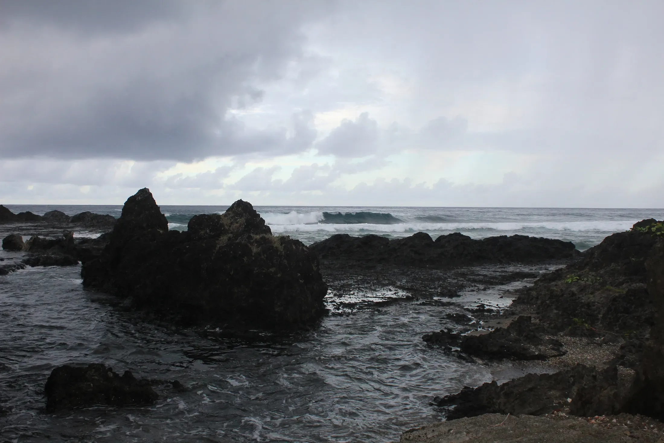
Hiking Futuna centres on Mont Puke, which at 524 m is the highest point of the territory. The tourism board describes the climb as demanding and suited to experienced hikers, with wide views. We hold no confirmed trail times or route maps, so plan with a local contact and check permission before you set out.
Things to do ·
Hiking in Futuna: Mont Puke, Trails and Safety Notes
Hiking Futuna means Mont Puke, the territory's highest point at 524 m. Read what we can confirm on trails, permission, roads, weather and safety.
01
Mont Puke: Futuna's highest peak
Mont Puke is the highest point of Wallis and Futuna, at 524 m. The official tourism board calls the climb demanding and suited to experienced hikers, and says it rewards you with wide views. That is the full extent of what we can confirm about the route itself.
Local tradition adds meaning to the mountain: it is said to be the refuge of the goddess Finelasi, protector of Futuna. Treat it as a place with a story, not just a summit. The board's suggested tour also names the Vainifao river as a swim stop after Mont Puke, which is a pleasing idea for tired legs, but ask locally about access and conditions.

02
What we cannot confirm
For a Futuna hike (randonnée à Futuna) of this size you would normally want the distance, the time, the trailhead and the grade. We have deliberately left all of those out. The route details we found were marked uncertain by our own research, and a wrong time on a mountain is worse than no time at all.
The tourism office head has said the territory has around a hundred trails, and that securing hiking trails is part of the plan, but we found no trail map and no hiking-guide operator listed on the board's activities page. If you want a guide, ask your accommodation, the Tourist Office or a village contact before you arrive.
03
Permission and customs
Futuna's land is under customary authority. Each king oversees cultural and religious matters and holds customary authority over land use, and in Futuna each village has a tauasu house where men gather each evening. The practical meaning for walkers: do not assume that a path through a village or plantation is open to all.
The tourism board advises checking that a site is not privately owned and whether permission is needed. Beaches in front of houses belong to the owner, so ask or introduce yourself first. Visitors should remove hats in churches and dress appropriately.
04
Roads, transport and getting to a trailhead
Futuna's roads are poorer than those on Wallis, with dirt roads to key sites. There is no public transport and no taxis, so a hire car is needed, and four hire companies are listed on Futuna: Corail Renting, Hasard Location, Loc Auto Futuna and SB Travel.
Since Cyclone Tomas in 2010 the main coastal road has been cut at Pointe des Pyramides, so check the road status before you plan a drive. Futuna's airport is Pointe Vele, at Vele in Alo. There is no public sea crossing between Wallis and Futuna, so you will fly between the islands.

05
Easier walks and viewpoints
If Mont Puke is beyond what you want to attempt, the board's Futuna tour names viewpoints and sites. Mataki'Uvea viewpoint looks over the ocean and Poi basilica. The tour also names the Vila Malia viewpoint, the Kolopelu chapel and the Fatua headland, called the petrified backbone of King Sakumani.
Tuatafa, in the far north, is a black volcanic-sand beach with a natural pool and sunsets, and Pointe des Pyramides is a sunset stop on the same tour. We have not confirmed walking distances for any of these, so ask locally.

06
Across the channel: Alofi
Alofi is reached by boat. Its highest point is Mount Kolofau, and the channel between Futuna and Alofi is under 2 km wide. The Vele taxi-boat association runs boats to Alofi. Alofi has no natural freshwater, which is the reason given for it being virtually uninhabited, so carry your own.
The board's tour names Alofitai beach, the first freshwater well, the Sacred Heart chapel and Vaivevela hot springs. We have no access information for the hot springs, so confirm before you plan around them.

07
Weather and safety
The tourism board describes the climate as tropical maritime, warm and humid, from 22 to 32 degrees Celsius, with rainfall above 3,000 mm a year. Cyclone season runs November to April, with risk rated low to moderate. Pack for heat, humidity and sudden rain.
The Kaleveleve hospital serves Futuna and the emergency number is 15 from a mobile. Serious cases are usually evacuated to Nouméa, so take insurance covering local treatment and medical evacuation. Tell someone where you are going before any climb.
Questions people ask.
- How high is Mont Puke?
- Mont Puke is 524 m and is the highest point of Wallis and Futuna. The tourism board describes the climb as demanding and suited to experienced hikers, with wide views.
- Is there a guide for hiking Futuna?
- We found no hiking-guide operator on the board's activities page. Ask your accommodation, the Tourist Office or a village contact, and ask about permission as well.
- Are there marked hiking trails on Futuna?
- The tourism office head says the territory has around a hundred trails and plans to secure them. We found no trail map, so we cannot confirm marking or distances.
- Can I hike on Alofi?
- Alofi is reached by boat and its highest point is Mount Kolofau. It has no natural freshwater. We have no confirmed trail information, so ask the Vele taxi-boat association and the Tourist Office.
Stay on the islands with IMPT.
IMPT (impt.io) is the booking platform behind this site: 8 million hotels and apartments across 195 countries, including the Pacific neighbours of Wallis & Futuna. Stays on Wallis and Futuna themselves are arranged by enquiry with each host. Every stay booked through IMPT supports climate action through the IMPT Climate Contribution programme.
Read next.
The invitation starts here
Be part of the
next chapter.
Join the waitlist First access to stays, routes and launch news.
No spam. Unsubscribe any time.